Estuary Education Resources

Why teach about estuaries? This suite of estuary education resources help educators bring estuarine science into the classroom through hands-on learning, experiments, fieldwork, and data explorations. These specially designed lessons, activities, data explorations, animations and videos can be used independently or as a supplement to existing curricula and can be adapted to meet any grade level.

Estuary Education

Estuaries are invaluable resources for coastal dwellers, whether of fin, fur, or feather. For people, these ecosystems offer protection, recreation, and a wealth of learning opportunities. On this site, educators and estuary enthusiasts will find a variety of resources, including specially developed activities, animations, videos, teacher training workshops, real-time data, and opportunities to volunteer at a local reserve. This information will help educators share the wonders of estuaries with students and others.

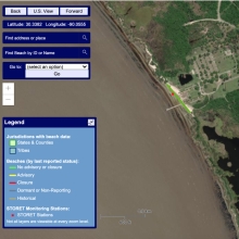
Estuary Data Mapper

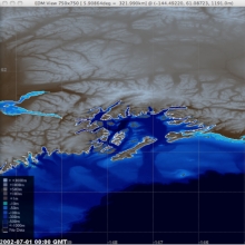
This tool "includes information about coastal rivers, tributaries, and watersheds. It gives users the ability to display background information, such as cities and roads, to help them explore areas of interest and learn more about the context. This data can help researchers gauge the status of estuary environments and possible threats - facilitating the use of decision-support tools to help them visualize the effects of potential management actions.

Enviroatlas

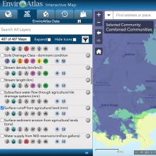
The EnviroAtlas Interactive Map is a discovery and analysis tool for hundreds of data layers relating to ecosystem services, biodiversity, people, and the built environment.

Diy Lake Science

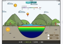
DIY Lake Science allows families and educators to investigate and learn about lakes and other freshwater ecosystems at home, at school, or anywhere you go! The app includes a dozen easy to use, hands-on activities to learn about freshwater ecosystems. Each activity includes step-by-step instructions that have been tested by educators, kids, and families. The activity materials are widely available and inexpensive - you probably have many of them in your home.

Cyanobacteria Assessment Network (Cyan)

CyAN is a multi-agency project among EPA, the National Aeronautics and Space Administration (NASA), the National Oceanic and Atmospheric Administration (NOAA), and the United States Geological Survey (USGS) to develop an early warning indicator system to detect algal blooms in U.S. freshwater systems. This research supports federal, state, tribal, and local partners in their monitoring efforts to assess water quality to protect aquatic and human health.

Beacon 2.0

Under the Beaches Environmental Assessment and Coastal Health (BEACH) Act of 2000, EPA provides annual grants to coastal and Great Lakes states, territories, and eligible tribes to help local authorities monitor their coastal and Great Lakes beaches and notify the public of water quality conditions that may be unsafe for swimming.