Resource Category
Resource Subject
Resource Content Type
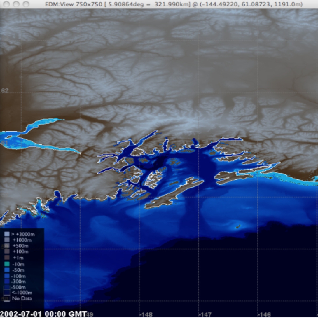
This tool "includes information about coastal rivers, tributaries, and watersheds. It gives users the ability to display background information, such as cities and roads, to help them explore areas of interest and learn more about the context. This data can help researchers gauge the status of estuary environments and possible threats - facilitating the use of decision-support tools to help them visualize the effects of potential management actions. For example, having access to nitrogen loading sources and predictive models of seagrass habitat can help communities and watershed organizations research ways to reduce nitrogen loads."