Goodbee Subdivision Reduced In Size, Remaining Portion To Be Left As Wetlands

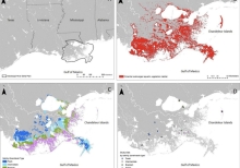
Residents of the Goodbee area northwest of Covington who have been fighting the development of new subdivisions in the flood-prone area for years got some good news at the St. Tammany Parish Zoning Commission's Feb. 4 meeting. Commissioners approved a request to reduce the size of the planned unit development formerly known as The Preserve at Goodbee Lakes from 75 to 32 acres and rezone the remaining 43 acres to A-1 Suburban District so they could be maintained as wetlands. The number of homesites would be reduced from 92 to 66.

Global Microplastic Intiative

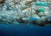
After four years of collecting water samples, we are confident that our dataset represents the most diverse and one of the largest datasets exposing the extent of microplastic pollution around the globe. With this in hand, we have transitioned to data analysis as we seek a deeper understanding of microplastic pollution, and importantly, how our work can contribute to positive change.

Global Change Explorer

The Integrated Climate and Land Use Scenarios (ICLUS) outputs are derived from a pair of models. A demographic model generates population projections for all counties of the conterminous United States to the year 2100. Those projections drive a spatial allocation model that distributes new housing units across the landscape in response to population growth.

Gecoserv

This online database provides a searchable inventory of valuation studies for ecosystem services that focus on an identified ecosystem and provide monetary value for these services. Ecosystem valuation data are abundant, yet they are often hard to find. GecoServ functions as a centralized source and user-friendly interface for the information. It promotes the distribution and sharing of these valuation studies, provides researchers with background information for future studies, and helps resource managers include ecosystem services in the decision-making process.

Game Of Floods

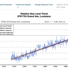
Sea levels are rising world-wide as warming oceans expand and melt glaciers and ice sheets. Stronger storms coupled with rising seas can significantly damage - even destroy - property, infrastructure, public facilities, natural habitats, and other resources we depend on. In the face of these threats, planning commission members are tasked with collaboratively developing an Adaptation Plan using the strategies (game pieces) for the scenarios provided.

Fundamentals Of Remote Sensing

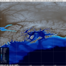
Participants will become familiar with satellite orbits, types, resolutions, sensors and processing levels. In addition to a conceptual understanding of remote sensing, attendees will also be able to articulate its advantages and disadvantages. Participants will also have a basic understanding of NASA satellites, sensors, data, tools, portals and applications to environmental monitoring and management.

Fossil Atmospheres

We want to create a record of how the atmosphere has changed through time by calculating the ratio of two different types of leaf cell (stomatal and epidermal) for many leaves, from the present and the geological past. We know that the composition of the Earth's atmosphere has changed over time, and that it is changing now. It is important for us to understand what effect climate change might have on life on our planet in the long term.