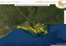
Coastwide Reference Monitoring System

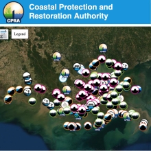
The Coastwide Reference Monitoring System (CRMS) was designed to monitor the effectiveness of restoration actions at multiple spatial scales from individual projects to the influence of projects on the entire coastal landscape. The CRMS design includes a suite of sites encompassing a range of ecological conditions in swamp habitats and fresh, intermediate, brackish, and salt marshes. The CRMS reference network approach allows for comparisons of changing conditions at CRMS sites within and outside of restoration and protection projects."
Combating Coastal Land Loss

Coastal residents are not strangers to environmental issues that threaten our land and lives. But how can we address them? In this TEDx talk, wetland ecologist Karen McKee explains some of the science behind land subsidence, the importance of coastal ecosystems, what this means for the future of communities, and discusses potential tools to move toward solutions.

Delta Dispatches (Podcast)

On today's show, our hosts are joined by Darilyn Turner, Executive Director of Zion Travelers Cooperative Center, and four of her trainees to talk about her organization and what makes the East Bank the best bank. ZTCC is an organization that's built around advocating for coastal restoration, disaster preparedness and connecting the youth of Plaquemines Parish to the environment.

Coastal Change Hazards

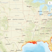
This portal provides scientifically credible data suitable for use in land use planning projects, storm response and recovery protocols, and infrastructure, ecosystem, and cultural resource management decision-making. Resources are organized under three coastal hazard themes: extreme storms, shoreline change, and sea level rise.

Coastal Community In Plaquemines Parish Plot The Future With La Safe

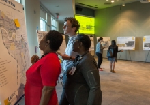
Flipping the script on typical state projects, where public engagement processes happen after the plans have already been drawn up, the meeting in Davant is part of a new approach to coastal planning oriented around residents' ideas and values, which the state calls 'Louisiana's Strategic Adaptations for Future Environments,' or LA SAFE for short.

Coastal County Snapshots

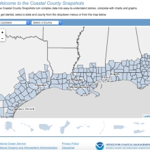
This online tool provides managers and citizens with easy-to-understand charts and graphs that describe complex coastal data. Users select a county of interest and the website does the rest, creating a helpful educational tool for governing bodies and citizen groups. Current snapshot topics include flood exposure, wetland benefits, and ocean and Great Lakes jobs.