Game Of Floods

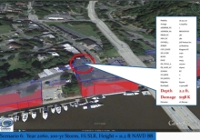
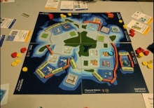
Sea levels are rising world-wide as warming oceans expand and melt glaciers and ice sheets. Stronger storms coupled with rising seas can significantly damage - even destroy - property, infrastructure, public facilities, natural habitats, and other resources we depend on. In the face of these threats, planning commission members are tasked with collaboratively developing an Adaptation Plan using the strategies (game pieces) for the scenarios provided.
Fossil Atmospheres

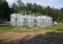
We want to create a record of how the atmosphere has changed through time by calculating the ratio of two different types of leaf cell (stomatal and epidermal) for many leaves, from the present and the geological past. We know that the composition of the Earth's atmosphere has changed over time, and that it is changing now. It is important for us to understand what effect climate change might have on life on our planet in the long term.

Estuary Education

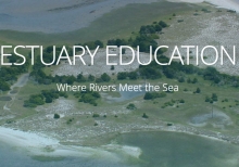
Estuaries are invaluable resources for coastal dwellers, whether of fin, fur, or feather. For people, these ecosystems offer protection, recreation, and a wealth of learning opportunities. On this site, educators and estuary enthusiasts will find a variety of resources, including specially developed activities, animations, videos, teacher training workshops, real-time data, and opportunities to volunteer at a local reserve. This information will help educators share the wonders of estuaries with students and others.

Diy Lake Science

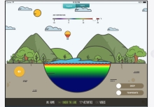
DIY Lake Science allows families and educators to investigate and learn about lakes and other freshwater ecosystems at home, at school, or anywhere you go! The app includes a dozen easy to use, hands-on activities to learn about freshwater ecosystems. Each activity includes step-by-step instructions that have been tested by educators, kids, and families. The activity materials are widely available and inexpensive - you probably have many of them in your home.

Cyanobacteria Assessment Network (Cyan)

CyAN is a multi-agency project among EPA, the National Aeronautics and Space Administration (NASA), the National Oceanic and Atmospheric Administration (NOAA), and the United States Geological Survey (USGS) to develop an early warning indicator system to detect algal blooms in U.S. freshwater systems. This research supports federal, state, tribal, and local partners in their monitoring efforts to assess water quality to protect aquatic and human health.

Coastwide Reference Monitoring System

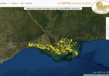
The Coastwide Reference Monitoring System (CRMS) was designed to monitor the effectiveness of restoration actions at multiple spatial scales from individual projects to the influence of projects on the entire coastal landscape. The CRMS design includes a suite of sites encompassing a range of ecological conditions in swamp habitats and fresh, intermediate, brackish, and salt marshes. The CRMS reference network approach allows for comparisons of changing conditions at CRMS sites within and outside of restoration and protection projects."

Coastal Inundation

Inundation Dashboard provides real-time and historic coastal flooding information at a majority of coastal water level stations operated by the National Ocean Service (NOS) Center for Operational Oceanographic Products & Services (CO-OPS). The product features both a map based view where users can easily view coastal flooding information geospatially and a more detailed station view where real-time and historical data for a specific location are highlighted.

Coastal Change Hazards

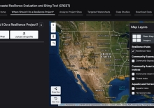
This portal provides scientifically credible data suitable for use in land use planning projects, storm response and recovery protocols, and infrastructure, ecosystem, and cultural resource management decision-making. Resources are organized under three coastal hazard themes: extreme storms, shoreline change, and sea level rise.