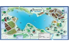
The Watershed Game

The Watershed Game is an interactive, educational tool that helps individuals understand the connection between land use and water quality. Participants learn how a variety of land uses impact water and natural resources, increase their knowledge of best management practices (BMPs), and learn how their choices can prevent adverse impacts. Participants apply the tools of plans, practices, and policies that help them achieve clean water goals for protection and restoration while providing for community growth.
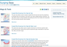
Surging Seas

Climate Central's Program on Sea Level Rise strives to provide accurate, clear and granular information about sea level rise and coastal flood hazards both locally and globally, today and tomorrow. Anchored in rigorous primary research, our work distinguishes itself by its user-friendly maps and tools, extensive datasets, and high-quality visual presentation.

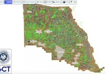
St. Tammany Parish Geoportal

Welcome to the St. Tammany Parish Assessor's Office geographic information system (GIS). Assessor Louis Fitzmorris is pleased to provide this valuable data to all parish taxing bodies and to the public. Creating this data and maintaining it for the citizens of St. Tammany is important work and benefits all in our parish. Our progress is updated here regularly as we continue to add more parcels and further our advancements in our GIS.

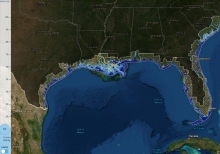
Sea Level Rise Viewer

Use this web mapping tool to visualize community-level impacts from coastal flooding or sea level rise (up to 10 feet above average high tides). Photo simulations of how future flooding might impact local landmarks are also provided, as well as data related to water depth, connectivity, flood frequency, socio-economic vulnerability, wetland loss and migration, and mapping confidence.

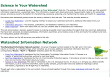
Science In Your Watershed

The purpose of this site is to help you find scientific information organized on a watershed basis. This information, coupled with observations and measurements made by the watershed groups, provides a powerful foundation for characterizing, assessing, analyzing, and maintaining the status and health of a watershed.

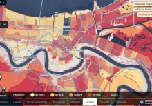
Risk Zone Map

Climate Central's Program on Sea Level Rise strives to provide accurate, clear and granular information about sea level rise and coastal flood hazards both locally and globally, today and tomorrow. Anchored in rigorous primary research, our work distinguishes itself by its user-friendly maps and tools, extensive datasets, and high-quality visual presentation.