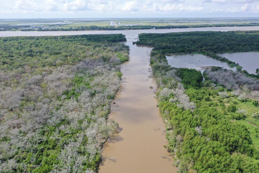
Mardi Gras Pass
Mardi Gras Pass is located in the Bohemia Spillway about 35 miles southeast of New Orleans at river mile 43.7. The pass began to develop during the 2011 Mississippi River flood when a small crevasse opened along the crest of the natural levee. This created a new channel, evolving through the natural forces of river flow. Headward erosion along the river across a forested bar allowed the channel to entirely breach to the Mississippi River in late February and early March 2012, at which time it was named Mardi Gras Pass. Mardi Gras Pass is now a free-flowing distributary of the Mississippi River.
Learn More
Why Study Mardi Gras Pass?
Mardi Gras Pass offers an opportunity to study the development of a new distributary of the Mississippi River over time. Because most of the Mississippi River is leveed, there is little opportunity for the development of new distributaries. The Bohemia Spillway, where the Pass is located, had its levees removed in 1926, which allowed for the development of Mardi Gras Pass over 80 years later. Additionally, Mardi Gras Pass allows us to observe the pattern of distribution of freshwater, sediment and nutrients into the basin.
PC's Research
PC studies the changing channel dimensions caused by the water flowing through the pass from the Mississippi River. The introduction of the Mississippi River has brought in sediment to build new wetlands which has now been colonized with new growth of grasses and trees.
Results
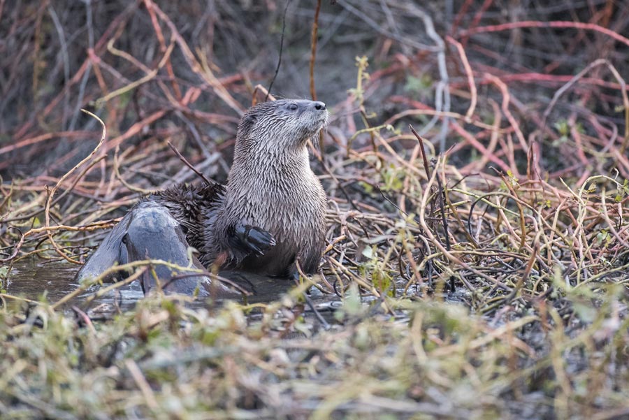
So far, we have reached a few major conclusions about the pass although we continue to study it. Freshwater discharge has increased over time which allows more water flow. Growth in sediment deposits have increased and pioneer grasses and trees have taken root. Lastly, we know that many species of saltwater and freshwater fish are using the pass as well as mammals, birds, reptiles and crustaceans.