Resource Category
Resource Subject
Resource Content Type
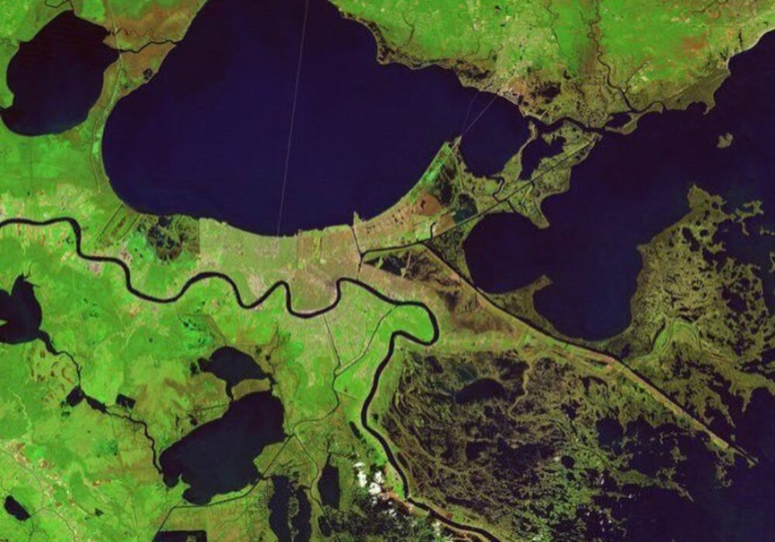
The scars of coastal loss, accelerated by Hurricane Katrina in 2005, still can be seen on the wetlands surrounding New Orleans, visible in before and after images taken by combined camera and sensor devices aboard NOAA Landsat satellites. Wetlands surrounding Delacroix are shown a week before Katrina, with normal vegetation showing up as bright green and water as blue. The Caernarvon Freshwater Diversion Project releases water from the Mississippi River into the Big Mar, and it eventually flows southeast through these wetlands.